North Carolina is home to miles of trails that everyone can enjoy. And while the whole state has a variety of landscapes and terrains to explore, Charlotte has its outdoor scene and a special kind of charm. There’s so much to explore, from museums to art events to bustling nightlife in Charlotte.
Charlotte, North Carolina, may not have a reputation as an outdoor city, but there are many fantastic parks and trails within two hours. With the Appalachian Mountains nearby and several national forests, rocky peaks, and lakes to explore, you won’t want to pass up this opportunity to explore the outdoors.
Hiking near Charlotte is a fun, affordable, and accessible way to explore the great outdoors of the area. This guide is designed to help you plan your next outdoor adventure in Charlotte!
Table of Contents
Easy Hikes near Charlotte
Fern Trail
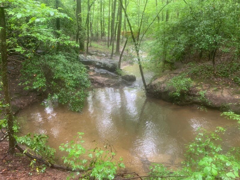
Image Source: AllTrails
- Location: Crowders Mountain State Park
- Trail Length: 0.9 miles
- Trail Type: Loop trail
- Trail Difficulty: Easy
- Estimated Time: ½ hour
The Fern Trail in Crowders Mountain state park is a leisurely stroll through the woods. It connects to others within the park, so you can use this trail to get to a more challenging trail if that’s what you’re looking for. These trails are the perfect opportunity to test out your day pack!
The Lake Trail connects with the Fern Trail, and connecting the two easy trails gives you a little more time on the trail. On the Fern Trail, you’ll have stunning views of the lake, flora, and fauna.
Pine Hollow Trail, Four Seasons Trail, and Creekside Trail Loop
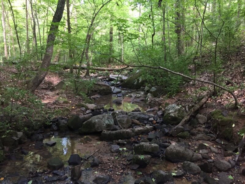
Image Source: AllTrails
- Location: McDowell Nature Preserve
- Trail Length: 2 miles
- Trail Type: Loop trail
- Trail Difficulty: Easy
- Estimated Time: 1 hour
The McDowell Nature Center provides a gateway to 1,132 acres of McDowell Nature Preserve. This center hosts information and educational programs on the preserve’s flora and fauna. The McDowell Nature Preserve is also the oldest preserve in Mecklenburg County, and it protects the forests along the shores of Lake Wylie.
This loop trail is a combination of easy trails within the preserve. Four Seasons is a short, paved loop before Creekside. Although there are a few small hills, this whole loop is rated as an easy trail. This loop trail is a perfect day hike for the entire family.
Boardwalk Loop Trail
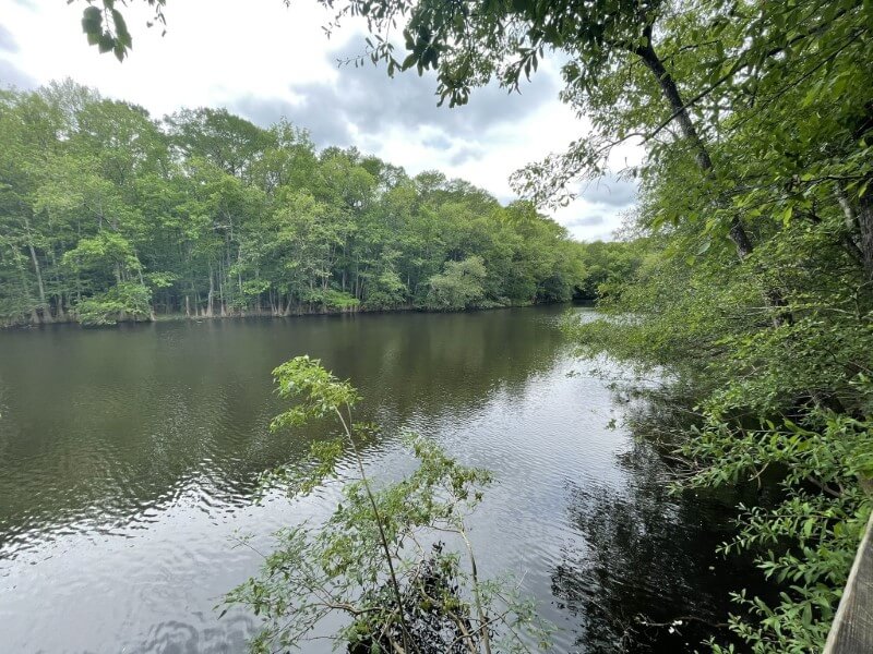
Image Source: AllTrails
- Location: Congaree National Park
- Trail Length: 2.3 miles
- Trail Type: Loop trail
- Trail Difficulty: Easy
- Estimated Time: ½ hour – 1 hour
The Congaree National Park is just a short drive from Charlotte near Gadsden, South Carolina. The Boardwalk Loop Trail is elevated almost 6 feet above the forest floor. The boardwalk takes you through a spectacular old-growth forest.
There’s a self-guided brochure available at the visitor center to make your day hike an educational experience, too. The boardwalk passes by Weston Lake, an old channel of the Congaree River.
Horne Creek Trail
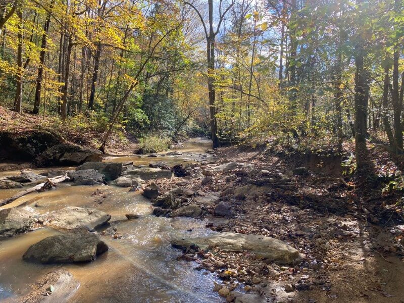
Image Source: AllTrails
- Location: Pilot Mountain State Park
- Trail Length: 3.9 miles
- Trail Type: Out-and-back trail
- Trail Difficulty: Easy
- Estimated Time: 1-1 ½ hours
The Horne Creek Trail is nestled in beautiful Pilot Mountain State Park. It’s an easy trail that begins at the picnic area by the access road and follows Horne Creek until it reaches the Yadkin River.
You’ll have sweeping river views until the river finally meets up with the Bean Shoals Canal Trail near the end of the access road. There are several creek crossings, so this is an excellent opportunity to try out a pair of hiking sandals!
Badin Lake Trail
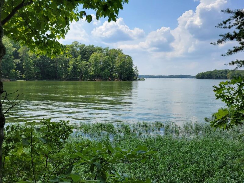
Image Source: AllTrails
- Location: Uwharrie National Forest
- Trail Length: 5.3 miles
- Trail Type: Loop trail
- Trail Difficulty: Easy
- Estimated Time: 2 hours
The Badin Lake Trail is a popular trail for a day hike near Charlotte. In the summer, it’s often very populated with campers and anglers. The scenic route beings along the shoreline of Badin Lake at the Kings Mountain Point Day Use Area. The trail then travels north to King’s Mountain Point.
The Badin Lake Trail features many viewpoints of the lake, fishing spots, and picnic tables. The trail follows the shoreline until reaching a densely forested area near Arrowhead Campground before returning to the parking lot.
Moderate Hikes near Charlotte
High Shoals Falls Loop Trail
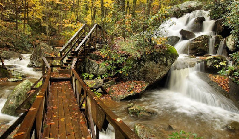
Image Source: Romantic Asheville
- Location: South Mountains State Park
- Trail Length: 2.4 miles
- Trail Type: Loop trail
- Trail Difficulty: Moderate
- Estimated Time: 1 ½ hours
South Mountains State Park is just over an hour’s drive northwest of Charlotte in Burke County. The park contains about 20,00 acres. It has lots of trails, varying from easy to moderate trails. There are about 40 miles worth of trails to explore, featuring some great waterfall views.
Because there is some elevation in South Mountain State Park, be prepared for more strenuous hiking than in the Charlotte area. The High Shoals Falls Loop Trail is a top-rated hiking destination.
To get to High Shoals Falls, you have two options. First, you can hike two miles out and back to the 60-foot waterfall. Alternatively, you can walk the 2.7-mile loop, including a short stair-climbing section.
Hollow Rock Trail
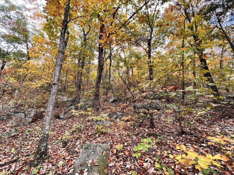
Image Source: AllTrails
- Location: Rocky Face Mountain Recreation Area
- Trail Length: 3.1 miles
- Trail Type: Loop trail
- Trail Difficulty: Moderate
- Estimated Time: 1 ½ hours
Hollow Rock Trail is situated in the beautiful, unique Rocky Face Mountain Recreation Area. Rocky Face is a small mountain with faces that were chopped and partly blasted away. It’s a popular area for both hikers and rock climbers, as bolted routes are installed on some of the faces.
Hollow Rock Trail has some surprisingly steep sections and is rated as a moderate trail. The rocky outcroppings and bare cliffs are home to unique plants, including bright yellow-flowered cacti. If you’re looking for a challenging day hike with fantastic views, the Hollow Rock Trail is for you!
Pinnacle Trail
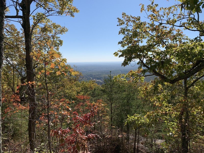
Image Source: AllTrails
- Location: Crowders Mountain State Park
- Trail Length: 4.2 miles
- Trail Type: Out-and-back trail
- Trail Difficulty: Moderate
- Estimated Time: 2 hours
Crowders Mountain State Park is located in Gaston County, about 30 miles west of Charlotte, North Carolina. This state park features two mountain peaks offering magnificent views of the Piedmont area.
There are lots of trails that offer challenging hikes and towering cliffs. You can also explore two states through the Ridgeline Trail, which connects to Kings Mountain State Park and Kings Mountain National Military Park in South Carolina.
The Pinnacle Trail takes you to one of two peaks in Crowders Mountain State Park. The trail offers many opportunities to spot native flora and wildlife. The last third of the hike is a steep climb with many rocks on the trail. You may end up doing some rock scrambling, so you may consider trying out a pair of Approach shoes on the Pinnacle Trail.
Morrow Mountain Trail
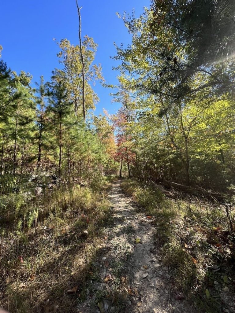
Image Source: AllTrails
- Location: Morrow Mountain State Park
- Trail Length: 5.3 miles
- Trail Type: Out-and-back trail
- Trail Difficulty: Moderate
- Estimated Time: 2 hours
Morrow Mountain State Park provides countless opportunities for outdoor adventure. You can try to summit Morrow Mountain, hike along the banks of the Yadkin River State Trail, and explore the shores of Lake Tillery. There is abundant wildlife throughout the park, so you’ll probably see deer, turtles, birds, and other small wildlife along the way.
Morrow Mountain Trail takes you to the summit of the park’s namesake mountain. You’ll have sweeping views of the Pee Dee River and Lake Tillery at the peak. The hike is easy for most of the way up, but the last part of the summit can be steep and slippery.
Uwharrie National Recreation Trail
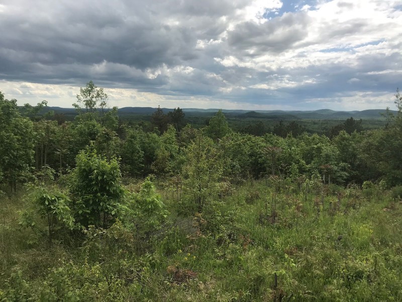
Image Source: AllTrails
- Location: Uwharrie National Forest
- Trail Length: 25.3 miles
- Trail Type: Point-to-point trail
- Trail Difficulty: Moderate
- Estimated Time: 11-12 hours
The Uwharrie National Forest is less than a two-hour drive east of Charlotte, North Carolina. This national forest is at approximately the same elevation, so summer days can be brutally hot, but the winters are typically milder.
There are many campsites along the Uwharrie National Recreation Trail to turn your hike into a backpacking adventure. You can do as much or as little of this 25-mile trail as there are several loop options.
Difficult Hikes near Charlotte
Stone Mountain Loop Trail
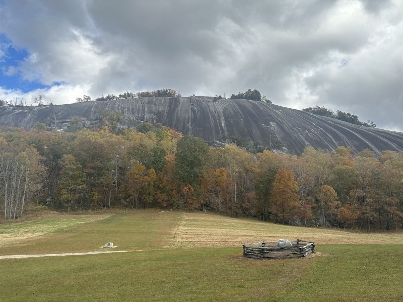
Image Source: AllTrails
- Location: Stone Mountain State Park
- Trail Length: 4.5 miles
- Trail Type: Loop trail
- Trail Difficulty: Hard
- Estimated Time: 2 ½ hours
The Stone Mountain Trail allows you to hike around the granite dome at Stone Mountain State Park, south of the Blue Ridge Parkway. The granite bulge is the centerpiece of Stone Mountain State Park.
The Stone Mountain Loop Trail takes you to the top of the dome. Along the way, you’ll hike by a scenic waterfall and through the restored homestead of a family that lived next to Stone Mountain for four generations. It’s a strenuous hike to the summit, but the stunning view from the top is well worth it.
Rocktop Trail
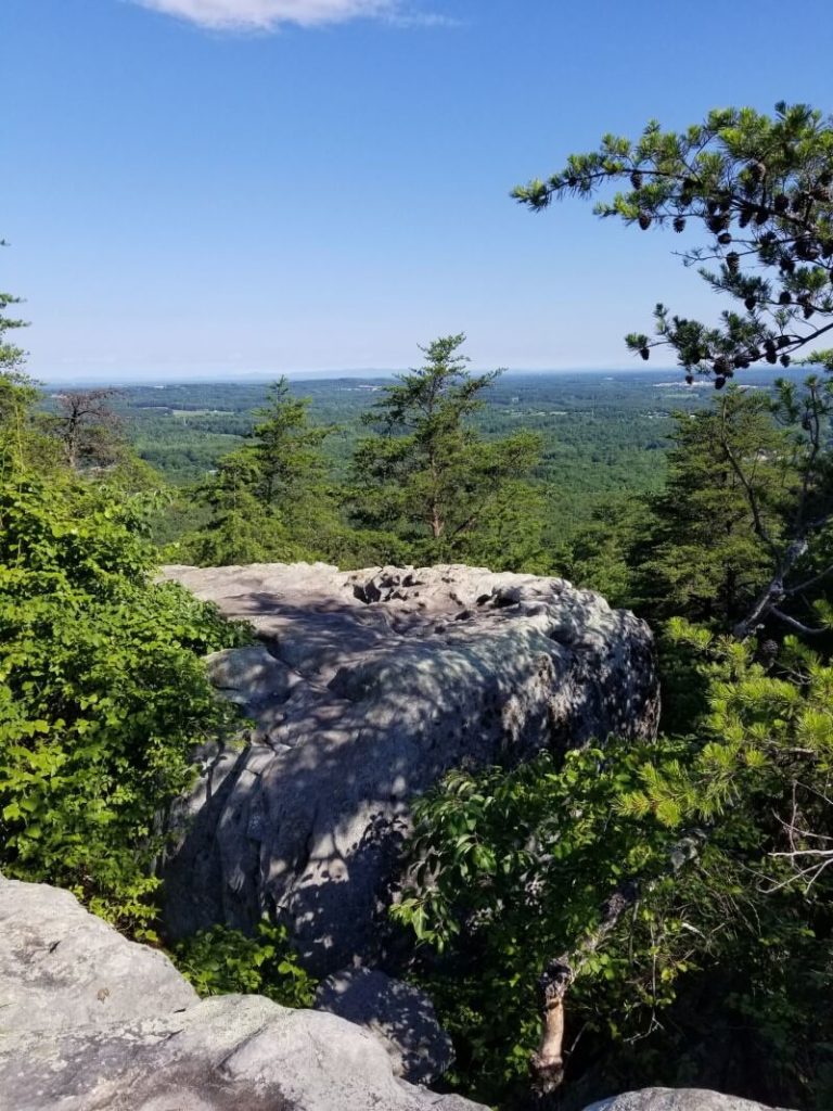
Image Source: AllTrails
- Location: Crowders Mountain State Park
- Trail Length: 5.9 miles
- Trail Type: Loop trail
- Trail Difficulty: Hard
- Estimated Time: 3 ½ hours
If you’re looking for the path less traveled, the Rocktop Trail may be for you. It’s at a lower elevation than the Crowders Mountain summit, but it features excellent views of the cliffs and the surrounding countryside below.
The Rocktop Trail also features elements of rock scrambles, such as fun boulders and rock sides. This hike has beautiful views and is definitely challenging. It’s recommended for experienced hikers.
Profile Trail to Calloway Peak and MacRae Peak
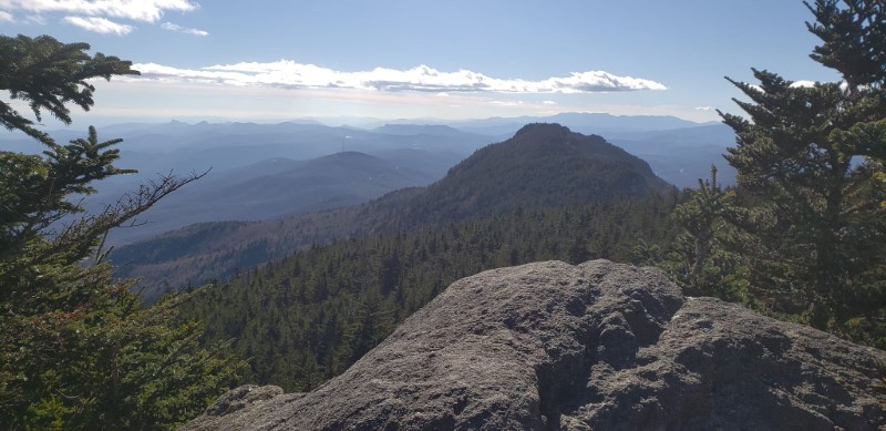
Image Source: AllTrails
- Location: Grandfather Mountain State Park
- Trail Length: 8.6 miles
- Trail Type: Out-and-back trail
- Trail Difficulty: Hard
- Estimated Time: 5 ½ hours
If you’re interested in hitting a few peaks, the Profile Trail is an excellent option. However, it’s a difficult and technically challenging trail, so it’s recommended for experienced hikers only. This route also features a lot of rock scrambling with challenging sections to get up and down some big rocks.
The Profile Trail takes you to two summits: Calloway Peak and McRae Peak. This trail is well worth the time and effort if you are up for an exciting adventure! This fantastic challenge is rugged and steep, with lots of steps and scrambles along the way. So get ready for a great workout!
Grandfather Mountain via Grandfather Trail
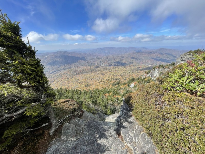
Image Source: AllTrails
- Location: Grandfather Mountain State Park
- Trail Length: 13.3 miles
- Trail Type: Out-and-back trail
- Trail Difficulty: Hard
- Estimated Time: 8 hours
Grandfather Mountain is nestled in the namesake Grandfather Mountain State Park. The Grandfather Trail begins at the Boone Fork parking area and takes you up to the summit of Grandfather Mountain. There are many beautiful overlooks of the Blue Ridge Parkway along the way, including Attic Window Peak.
Along the way, the Grandfather Trail passes many overlooks, including Calloway Peak on the way to the summit ridge of Grandfather Mountain. You’ll see various landscapes as you hike in and out of wind-dwarfed spruce and fir, across rock walls and pinnacles, and into open spaces with sweeping panoramic views.
Be ready for a slow pace as you navigate this complex and technically challenging trail. There will be hand-over-hand and extra steep sections where hikers use in-place cables and ladders. This trail is not recommended for children, inexperienced hikers, or pets.
Linville Gorge Grand Loop
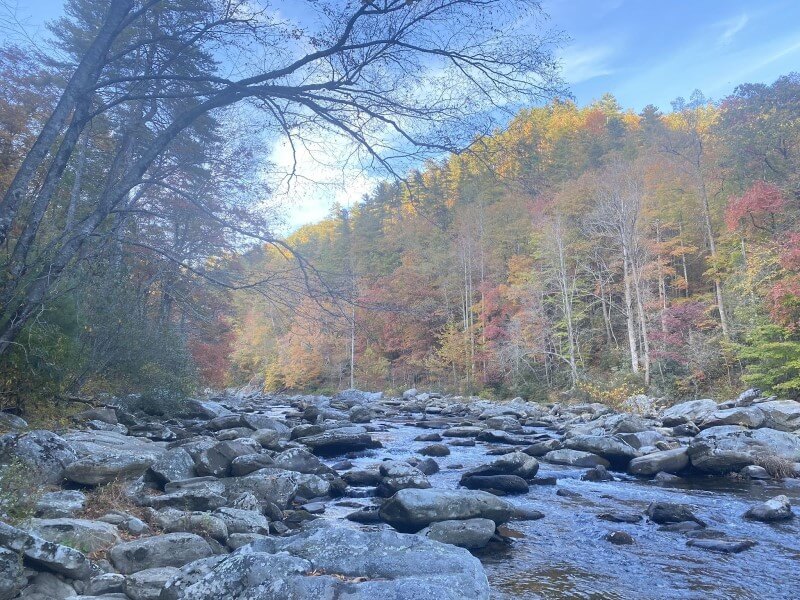
Image Source: AllTrails
- Location: Linville Gorge Wilderness
- Trail Length: 20.8 miles
- Trail Type: Loop trail
- Trail Difficulty: Hard
- Estimated Time: 11-12 hours
The Linville Gorge Grand Loop features rough terrain, primitive camping, strenuous climbs, and beautiful vistas. Be ready to navigate this trail with maps, as the trail isn’t always clearly marked. You’ll also need to plan for water, as there is a minimal water source along the route.
There’s an alternate starting point at the Table Rock parking area if you’re looking for a shorter route. Checking seasonal information about hiking in the Linville Gorge Wilderness is essential, as some river crossings may not be possible during times of higher water levels.
Charlotte Hiking FAQs
Is Charlotte, NC good for hiking?
Within the North Carolina Mountains, there are more than 900 miles of hiking trails to explore. So whether you’re looking for a challenging peak to climb, a paved path for a Sunday afternoon stroll, or something in between, you have countless opportunities to explore in Charlotte.
What is the longest trail in Charlotte?
The McAlpine Creek Greenway is the longest single trail in Charlotte, North Carolina. It’s in northeast Charlotte near the UNC-Charlotte campus.
The Mallard Creek, Clark’s Creek, and Ruth B. Shaw Trail on the Toby Creek Greenway network is the longest stretch of uninterrupted greenway in the Charlotte Mecklenburg County Park and Recreation trail system.
Is the weather in Charlotte, North Carolina pleasant year-round?
The annual average temperature in Charlotte, North Carolina, is 61.5 degrees. The average yearly precipitation is 43 inches, distributed evenly throughout the year. Overall, the weather in Charlotte is fair and mild throughout the year.
North Carolina experiences all four seasons. The winter is generally mild and the mountains tend to experience snow. The spring and fall are transformative and offer for great views of either budding woodland flowers or brilliantly colored foliage. North Carolina summers get hot and humid with the occasional summer shower to cool the air.
On your next trip to Charlotte, take the chance to leave the Queen City lights behind and explore the surrounding hikes to truly explore all that the area has to offer. Whether you’re looking to summit a mountain or stroll along a greenway, you’ll have plenty of opportunities to explore near Charlotte. However, before you hit the trail, take stock of your hiking gear. Check out our gear reviews for hiking pants and a GPS watch.


Leave a Reply