The picturesque Scottsdale, Arizona, often attracts visitors because of its bustling nightlife, fine dining scene, and year-round golf weather. However, this scenic Arizona city is also home to some of the most beautiful hikes in the southwest region. Are you planning a trip to Scottsdale soon? You won’t want to miss the opportunity to hit the trails and explore its rugged, desert terrain. Here are the 15 best hikes near Scottsdale, Arizona.
Table of Contents
Does Scottsdale have good hiking?
Yes, Scottsdale has fantastic hiking. Because it lies in the Sonoran desert and at the base of the McDowell Mountain range, Scottsdale is home to a vast amount of varied topography, perfect for hikers of all skill levels. Additionally, the weather is sunny and warm throughout the winter, making Scottsdale an excellent destination for those looking to keep their legs in shape all year long.
What mountains are in Scottsdale?
Scottsdale is home to the McDowell Mountain Range, which lies in the Sonoran Desert. The McDowell Mountain Regional Park gives visitors a straightforward way to access hiking and biking trails that wind around the mountains. The range’s highest peak sits at 4,057, offering a challenge for those coming from sea level. Many of the hikes on this list occur throughout the McDowell Mountains and their rolling foothills.
Overview of the Top 15 Hiking Trails near Scottsdale
Easy Hikes near Scottsdale, Arizona
Trailhead: Double Butte Loop. This straightforward hike is family-friendly and can be accomplished in an afternoon. A well-marked trail leads right from the trailhead parking lot and gains a modest 114ft throughout its entirety.
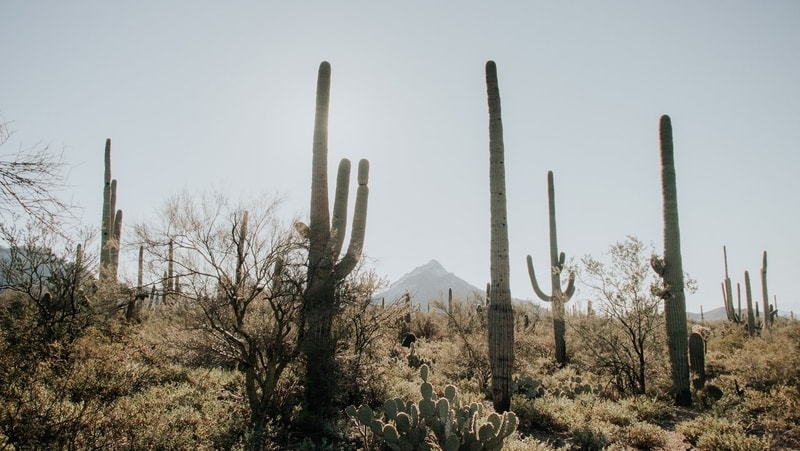
Image Source: Pexels
- Location: Papago Park
- Trail Length: 2.2 miles
- Trail Type: Loop
- Trail Difficulty: Very easy
- Estimated Time: 1 hour
Trailhead: Granite Mountain Loop Trail. This gently sloping trail leads hikers through stately saguaro cacti and pale green scrub. This trail is open year-round, and depending on your visit, you may spy wildflowers in full bloom or watch thunderstorms gathering in the distance over the McDowell Mountains.
- Location: McDowell Sonoran Preserve
- Trail Length: 5.1 miles
- Trail Type: Loop
- Trail Difficulty: Easy
- Estimated Time: 2.5 hours
Trailhead: Scenic Trail. Named for its panoramic views, this hiking path never lets up on the views.
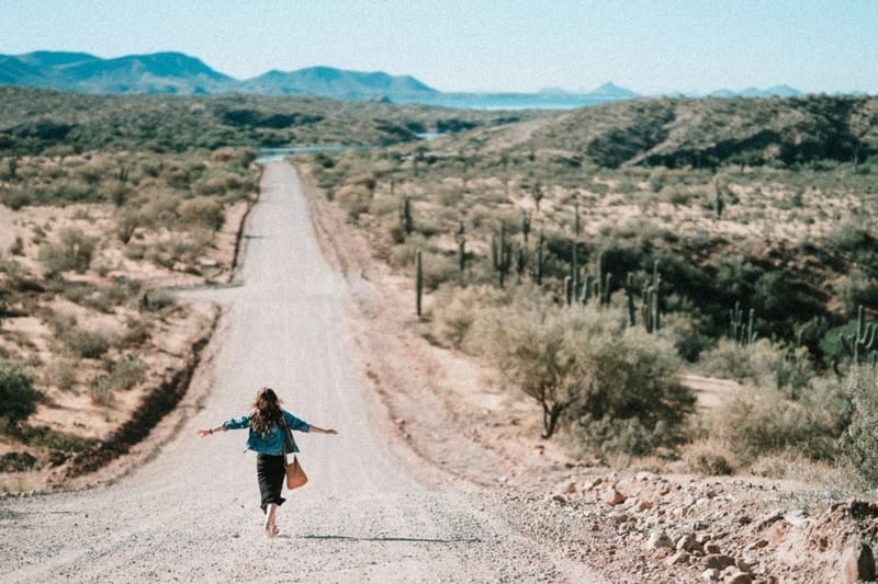
Image Source: Pexels
- Location: McDowell Mountain Regional Park
- Trail Length: 4.4 miles
- Trail Type: Loop
- Trail Difficulty: Easy
- Estimated Time: 2.25 hours
Trailhead: Saguaro Loop and Nature Trail. Take this short trail in the late afternoon to enjoy sunset views of the vast Arizona desert.
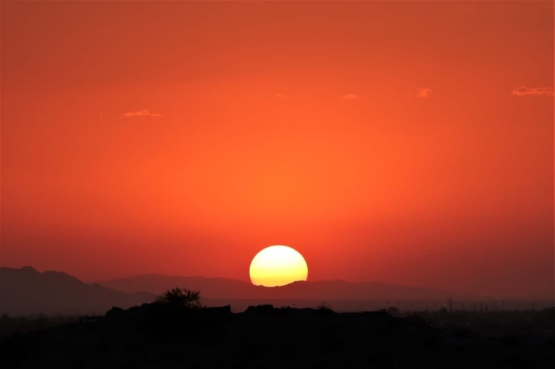
Image Source: Pexels
- Location: McDowell Sonoran Preserve
- Trail Length: 1.8 miles
- Trail Type: Loop
- Trail Difficulty: Very easy
- Estimated Time: Less than 1 hour
Trailhead: Sears Kay Ruins Trail. A family-friendly trail that will still challenge new hikers, the Sears Kay Ruins Trail offers incredible views of the Arizona foothills and historic ruins. Amateur geologists are sure to get a kick out of this trail.
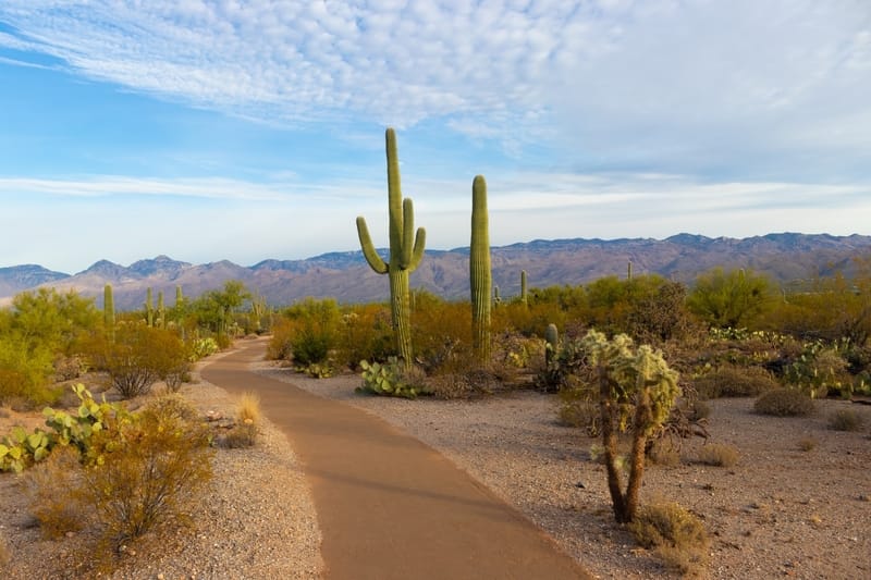
Image Source: Unsplash
- Location: Tonto National Forest
- Trail Length: 1.64 miles
- Trail Type: Out & Back
- Trail Difficulty: Easy
- Estimated Time: 1.5 hours
Trailhead: Wagner Trail Loop. Almost no elevation gain makes this trail very easy for even the littlest of hikers. Those seeking solitude will enjoy the peace and quiet on this lesser-traveled trail.
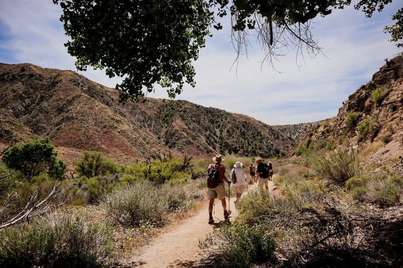
Image Source: Pexels
- Location: McDowell Mountain Regional Park
- Trail Length: 2.2 miles
- Trail Type: Loop
- Trail Difficulty: Easy
- Estimated Time: 1 hour
Intermediate Level Hiking Trails near Scottsdale, Arizona
Trailhead: Lost Dog Trail. A bit longer than the beginner-level hikes on this list, Lost Dog Trail shows off gorgeous views of the desert while only requiring a little extra physical exertion with 410 feet of elevation gain.
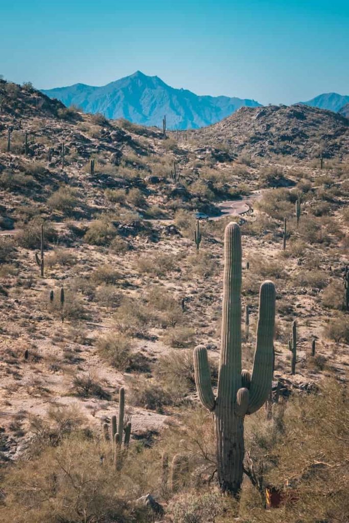
Image Source: Pexels
- Location: Scottsdale, Arizona
- Trail Length: 4.2 miles
- Trail Type: Out & Back
- Trail Difficulty: Moderate
- Estimated Time: 2 hours
Trailhead: Marcus Landslide Trail. This moderate hike is a bit shorter but steeper. Climb to the top of this out & back for spectacular views of the Superstition Mountains.
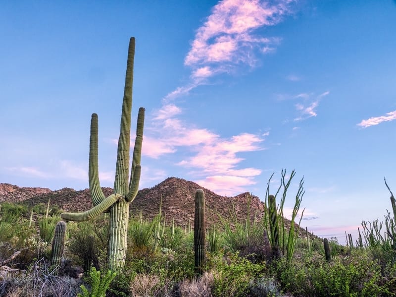
Image Source: Pexels
- Location: McDowell Sonoran Preserve
- Trail Length: 3.8 miles
- Trail Type: Out & Back
- Trail Difficulty: Moderate
- Estimated Time: Under 2 hours
Trailhead: Gateway to Bell Pass. This picturesque hike climbs 1,738 feet and offers stunning views to those willing to work a bit.
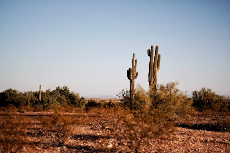
Image Source: Pexels
- Location: McDowell Sonoran Preserve
- Trail Length: 7.3 miles
- Trail Type: Out & Back
- Trail Difficulty: Moderate to Hard
- Estimated Time: Under 5 hours
Trailhead: Upper Ranch and Brown’s Ranch Road Trail. Best visited in the springtime to early summer, this trail is rife with wild flowers and Saguaro cacti.
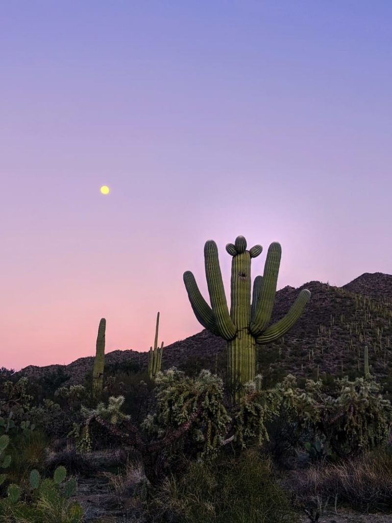
Image Source: Pexels
- Location: McDowell Sonoran Preserve
- Trail Length: 4.0 miles
- Trail Type: Loop
- Trail Difficulty: Easy to Moderate
- Estimated Time: Approximately 2 hours
Trailhead: Dixie Mine. Spy ancient petroglyphs carved by the area’s original indigenous inhabitants while strolling along this popular hiking trail.
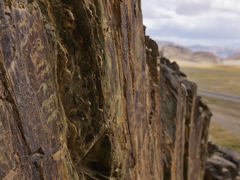
Image Source: Pexels
- Location: McDowell Mountain Regional Park
- Trail Length: 5.5 miles
- Trail Type: Out & Back
- Trail Difficulty: Moderate
- Estimated Time: 2.5 hours
Trailhead: Gateway Trail to Windgate Pass. This popular trail offers beautiful views, sunrise to sunset. Be wary of steep sections on this out-and-back trail.
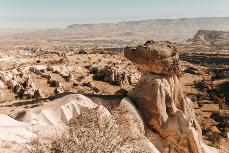
Image Source: Pexels
- Location: McDowell Sonoran Preserve
- Trail Length: 7.3 miles
- Trail Type: Out & Back
- Trail Difficulty: Moderate to Hard
- Estimated Time: Approximately 4 hours
Challenging Hikes near Scottsdale, Arizona
Trailhead: Tom’s Thumb and Windgate Pass Loop. Expansive views of Scottsdales desert environment make this trail one for the books. Spy unique rock formations, beautiful wildflowers, and more on this popular hike. Proper footwear is highly encouraged.
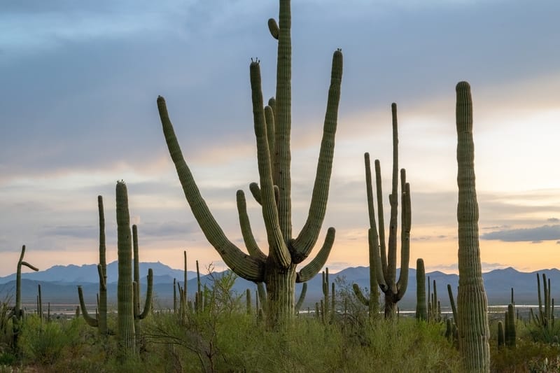
Image Source: Pexels
- Location: McDowell Sonoran Preserve
- Trail Length: 10.6 miles
- Trail Type: Loop
- Trail Difficulty: Hard
- Estimated Time: Approximately 6 hours
Trailhead: Camelback Mountain via Echo Canyon Trail. While short in length, this steep hiking trail climbs high, accruing a total of 1,420 feet elevation gain in less than three miles. This stairway to Heaven offers 360-degree views from Camelback Mountain.
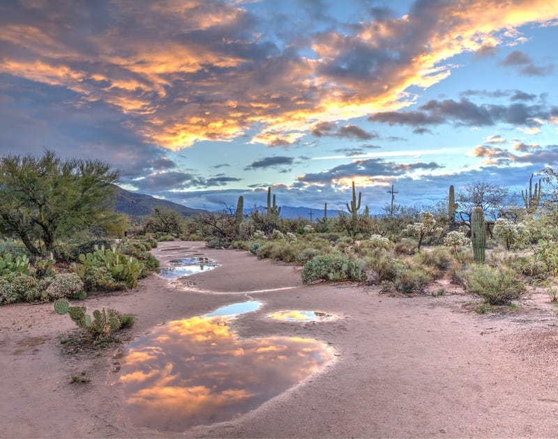
Image Source: Unsplash
- Location: Echo Canyon Recreation Area
- Trail Length: 2.5 miles
- Trail Type: Out & Back
- Trail Difficulty: Hard
- Estimated Time: 2 hours
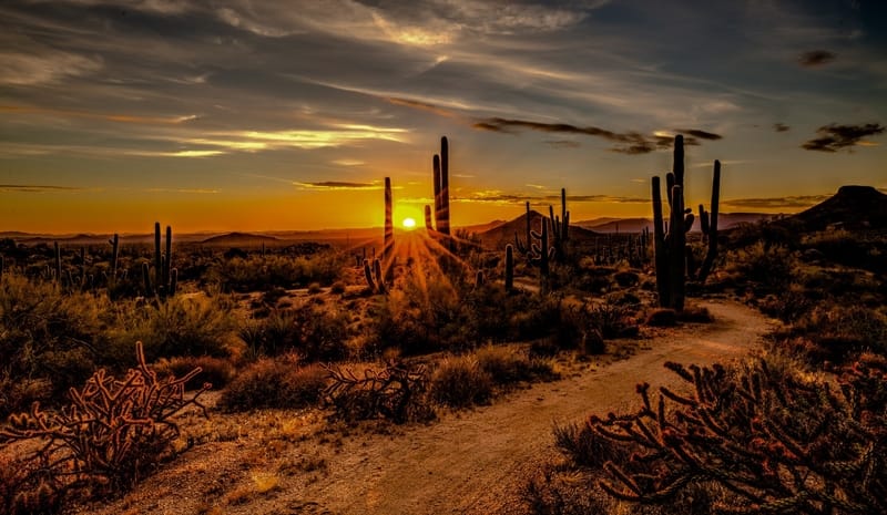
Image Source: Unsplash
Trailhead: Gateway, Bell Pass, and Windgate Loop Trail. Take this smooth trail around Drinkwater Peak for stunning mountain views almost the entire time. Be on the lookout for mountain bikers, horseback riders, and other trail users as this is a popular hiking destination for those wanting to level up from shorter trails.
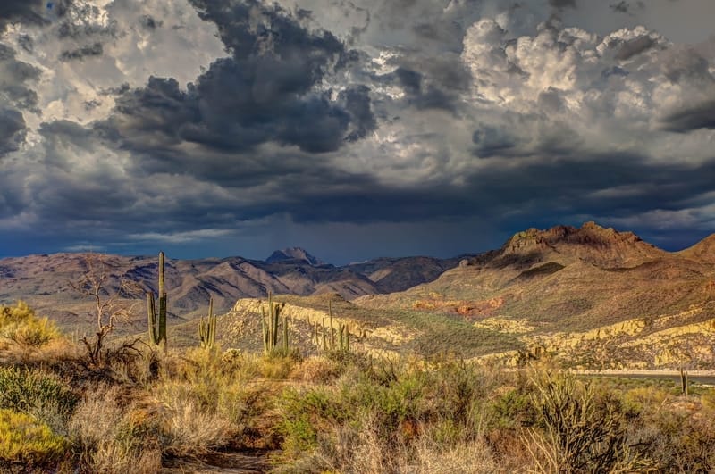
Image Source: Unsplash
- Location: McDowell Sonoran Preserve
- Trail Length: 9.6 miles
- Trail Type: Loop
- Trail Difficulty: Hard
- Estimated Time: Approximately 5 hours
Trailhead: Tom’s Thumb Trail South. Fantastic views are well deserved after over 2,500 feet in elevation gain. Experienced hikers can test their mettle while casual hikers should work up to this steep climb.
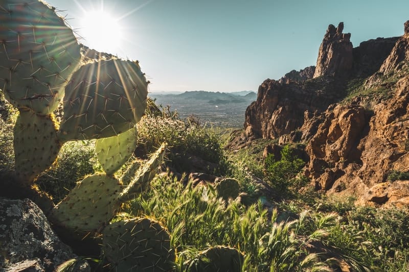
Image Source: Unsplash
- Location: McDowell Sonoran Preserve
- Trail Length: 11.3 miles
- Trail Type: Out & Back
- Trail Difficulty: Very Hard
- Estimated Time: Approximately 6 hours
Trailhead: McDowell Mountain Rim to Rim. You’ll have to arrange a shuttle vehicle either to the trailhead or from the end point. Coordinate with fellow hikers beforehand and make sure to pack accordingly for this strenuous climb.
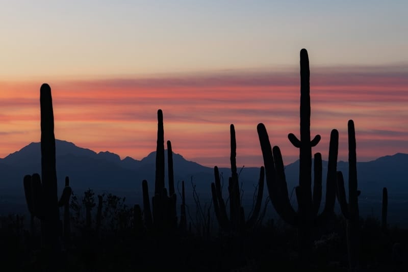
Image Source: Unsplash
- Location: McDowell Sonoran Preserve
- Trail Length: 15.8 miles
- Trail Type: Point to Point
- Trail Difficulty: Extremely difficult
- Estimated Time: 9 hours
Know Before You Go
Weather can turn on a dime in the desert, especially in summer. Blue skies can quickly collect afternoon thunderstorms that result in a deluge of torrential rain and may even lead to flash floods in lower elevation areas. So check the weather in the morning before you set out, and always have a game plan if conditions shift quickly.
Talk with the park ranger if you are less experienced in the backcountry and plan for a longer hike. Be sure to take a cell phone, trail map, emergency first-aid equipment, snacks, ample water, a wind-and-waterproof outer layer, and proper footwear. Also, depending on the length of your adventure, you may want to pack emergency camping supplies, like a bivvy, space blanket, and down jacket.
Keep an eye out for wildlife in the area, especially rattlesnakes that like to hide under shady rocks, waiting out the midday sun. Also, the terrain in the desert can be loose, so make sure you have sturdy shoes you are comfortable walking in. Temperatures, weather, water, and time are the key things you need to consider before setting out on any of these hikes in Scottsdale.
FAQs for Safe Desert Hiking
What do you need for hiking in the desert?
You’ll need plenty of water, moisture-wicking clothing, sturdy footwear, and sunscreen. Consider that desert days are usually warm and dry while nights are pretty cool. Temperatures can fluctuate up to 40 degrees. If you’re starting in the morning, you’ll likely be chilly upon first setting off. However, as miles of trails pass underfoot and the sun climbs in the sky, you will likely heat up and begin using more of your water supply, sunscreen, and food.
How do you stay cool while hiking in the desert?
Wear a sunhat and loose-fitting, moisture-wicking clothing. Choose shadier trails or start earlier or later in the day.
How much water do I bring on a desert hike?
How much water you bring on your hike depends on how far and strenuous the hiking trail will be. A gallon of water a day is what many guide services require when leading desert hiking trips in the heat of the summer. This “gallon a day” is a great rule of thumb with any hikes extending over a few miles or for inexperienced hikers.
What temperature is too hot for hiking?
Temperature thresholds can be person-specific, as you know your heat tolerance. Some people are more heat tolerant than others. Generally, if the day’s temperatures are climbing towards 100, wait until later in the afternoon to hike, or plan to get an early start the next morning.
What do you wear at night in the desert?
Wool layers are helpful at night in the desert. They are moisture wicking and will remain warm and insulting even when wet. A knit hat, thick socks, gloves, and a down jacket are helpful if temperatures drop towards freezing.


Leave a Reply